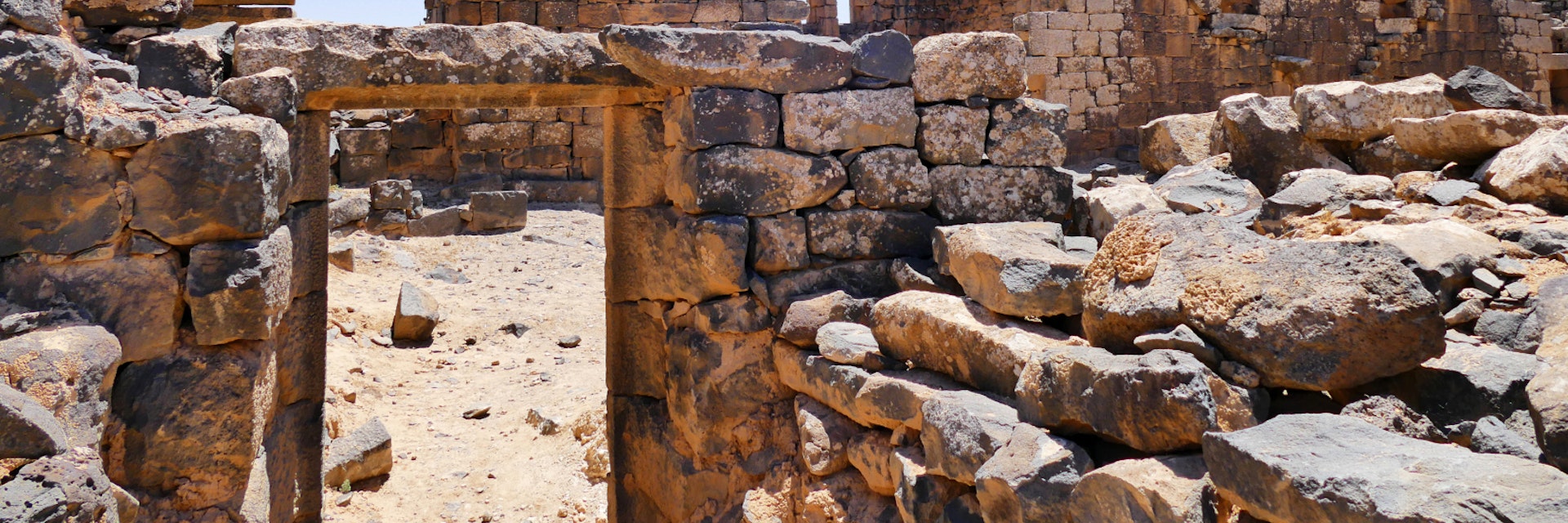
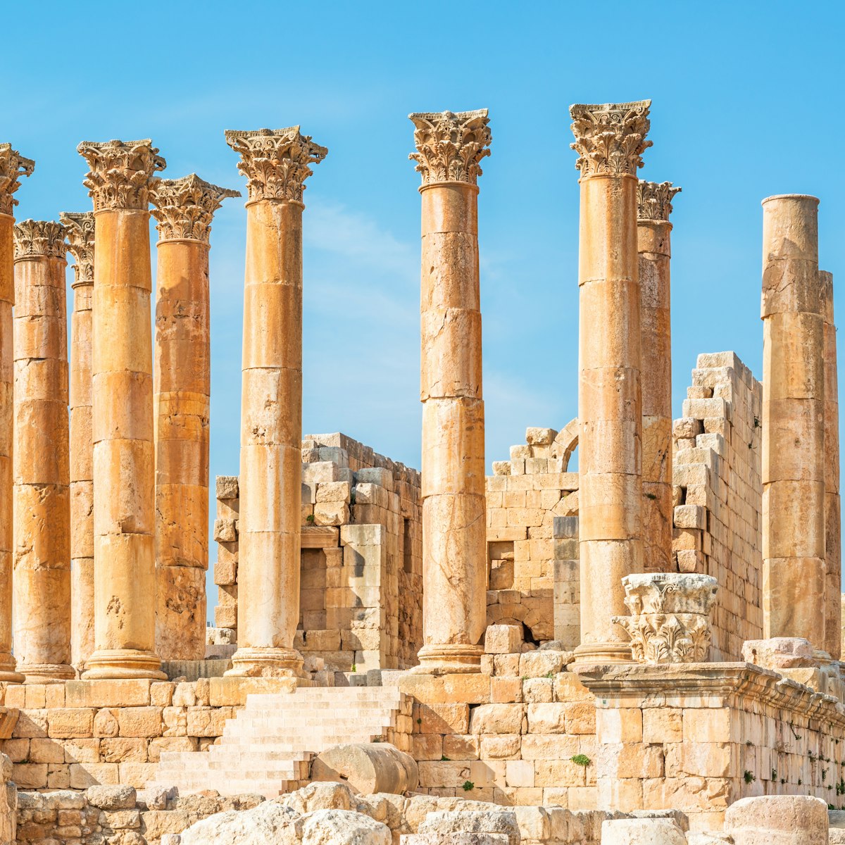
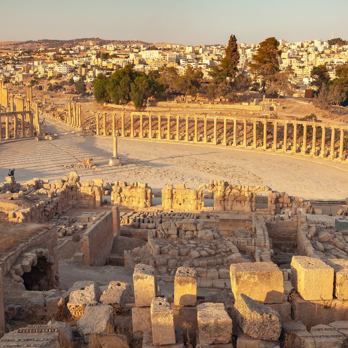
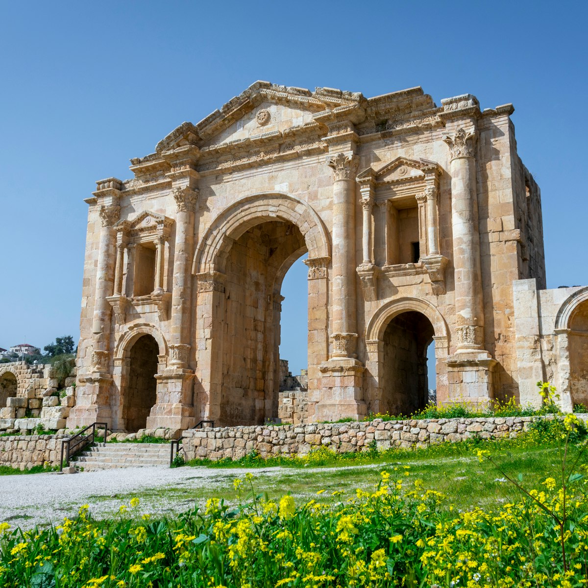
The unpretentious urban architecture of Umm Al Jimal, near the Jordanian–Syrian border, encompasses more than 150 buildings standing one to three storeys above ground, including 128 houses and 15 churches. Together, these buildings provide a fascinating insight into rural life during the Roman, Byzantine and early Islamic periods. Compared to other archaeological sites in the region, Umm Al Jimal was rarely looted or vandalised, which has left much of the original layout intact.
Comparatively little is known about the ruined city, referred to by archaeologists as the ‘Black Gem of the Desert’. An extensive rural settlement in the lava lands east of Mafraq, the ruins are located on the edge of a series of volcanic basalt flows that slope down from Jebel Druze, providing high-quality building materials.
The large structure just past the southern entrance is the barracks, built by the Romans. The towers were added later and, like the castle at Azraq, it has a swinging basalt door that still functions. The barracks chapel was added to the east of the barracks during the Byzantine period (around the 5th century) and is inscribed with the names of the archangels Gabriel, Raphael, Michael and Uriel.
About 150m to the left (west) of the barracks is what some archaeologists believe is a Nabataean temple because of the altar in the middle. About 100m north of the barracks is the Numerianos church, one of several ruined Byzantine churches. Another 100m to the east is the double church, recognisable by its two semicircular naves, a wonderful structure that was renovated and extended several times over the centuries. About 80m to the right (east) is house XVII, whose double-door entrance, interior courtyard, fine corbelled ceilings, decorated doorways and carved pillars indicate that it was built by a wealthy family.
A few metres to the south is the sheikh’s house, notable for its expansive courtyard, stables, black basalt door and stairways. Look for the gravity-defying stairs to the north and the precarious corner tower. You can just make out a double stairway to the east of the courtyard. After exiting the building you get a good view of the lovely arched window and vaulted semicircular basement in the exterior eastern wall.
About 150m north of the double church, steps lead down to the main reservoir, one of several around the city. Less than 100m to the left (west) is house XIII, originally a stable for domestic goats and sheep, and later renovated and used as a residence by Druze settlers. Here, take notice of the stone ventilation screen, which was used to separate the manger from the living space.
To the west (about 100m) is the cathedral, built in about AD 556, but now mostly in ruins – look for the lintel stone detailing the Roman emperors that ruled over the region. The praetorium (military headquarters) is less than 100m to the southwest. Built in the late 2nd century AD by the Romans, it was extended by the Byzantines and features a triple doorway. About 200m to the north through one of the old city gates is the west church, easily identifiable by its four arches and ornate Byzantine crosses.


