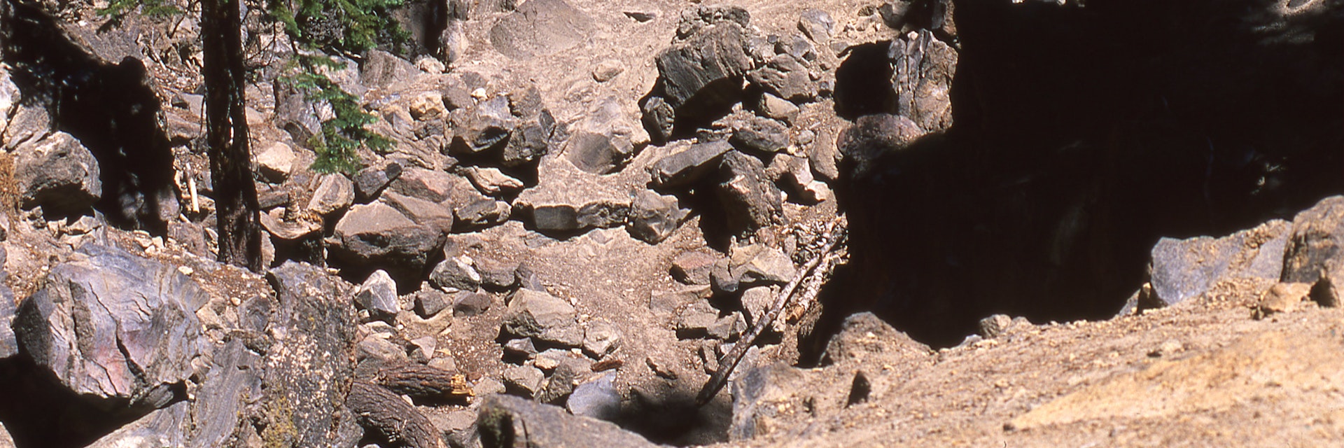
Mammoth Mountain is the product of millions of years of volcanic activity, so it should be no surprise that the region surrounding it is full of geological intrigues. One of the most easiest to see up close is Earthquake Fault, a half mile long tear in the earth likely formed when Inyo and Mono Craters last erupted.
Technically in geologic terms it's a fissure, not a fault – a neat shear in an ancient rhyolite lava flow. Nevertheless, it's a striking reminder of the powerful forces working beneath the earth. Ice and snow often linger at the bottom until late summer, and Native Americans and early settlers used it to store perishable food like an all-natural refrigerator.
You can reach Earthquake Fault from Minaret Rd, about 1 mile west of the Mammoth Scenic Loop, or by driving west on State Route 203 until you are a mile past Mammoth Village, where there's a turnoff. There are restrooms and picnic tables at the parking area and a .3 mile self-guided interpretive trail leading to the Fault through stands of old growth trees.
Accessibility is difficult during winter, but can be achieved by cross-country ski if you're so motivated. In addition to the interpretive trail to the Fault, you can also mountain bike the 4-mile Mountain View Trail, which leads to Minaret Vista.
